Abstract
Different urban issues urgently request up-to-date, valid, accurate, suitable, error-free 3D data of the living environment. A dynamic, virtual copy of cities, landscape, and buildings enables to continuously monitor what is happening in reality and evaluate different scenarios through simulation. These simulations help address issues like flooding, noise pollution, air pollution, and urban heat islands. Methods are developed to reconstruct, validate, and disseminate virtual 3D models. The resulting methods are implemented in open-source software, such as PolyFit, MVStudio, 3dfier, and Val3dity. The resulting semantic rich 3D data of the living environment is structured and tailored for specific uses.
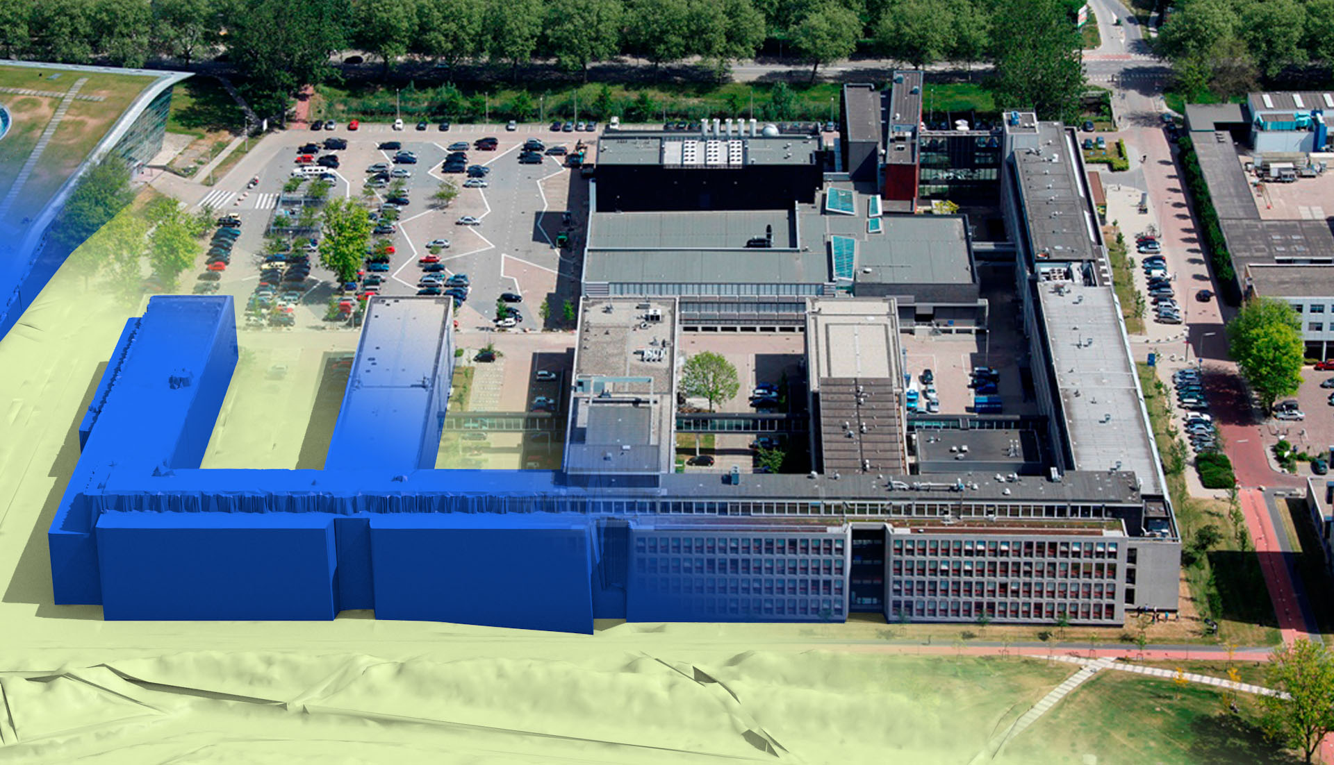
Figure 1: Representing our living environment as 3D virtual models.
With the growth of cities and technological advancements, our living environment is becoming increasingly complex. Often our intuition and experience prove to be insufficient when trying to understand phenomena in this realm. Systems that help to model our surroundings augment the human mind and provide the much-needed details about a complex environment. At the 3D geoinformation research group, we see ourselves as enablers, working on information-rich models of our living environment that are used by domain experts for making informed decisions. Therefore, our work is subtle, in fact it is best if barely noticeable, providing the basis for the decisions that shape our future.
In the research of our 3D geoinformation research group, we focus on creating 3D, digital representations and models of our surroundings. There is a surprising amount of knowledge and work involved in this process and we aim to cover the whole flow from data generation, through data management, dissemination and use in urban applications. These applications urgently request up-to-date, accurate and error-free 3D data. A dynamic, virtual copy of cities, landscape, and buildings enables to continuously monitor what is happening in reality and evaluate different scenarios through simulation. Such simulations help address issues like flooding, noise pollution, air pollution, and urban heat islands. Therefore, we develop methods to reconstruct, validate, and disseminate virtual 3D models.
The resulting methods are implemented in open-source software with permissive licensing. We target users from industry and government and try to release software that will be useful to them. Our tools are mainly focused on features that are not available in commercial software. Some of the examples are PolyFit, MVStudio, 3dfier, and Val3dity. With these tools the users can create semantic rich 3D data that is structured and tailored for their application.
In an ideal world 3D environmental data would be high quality, easily accessible and usable by planning professionals without specific data management skills. In the meantime we continue our work at the intersection of industry, government and academia, and keep developing methods that hopefully take us towards this future.
Acknowledgement
We have received funding from the European Research Council (ERC) under the European Union's Horizon 2020 research and innovation programme (grant agreement No 677312 UMnD).