Synthesizing Expert Based ‘On-The-Fly’ Safety Risk Heat Maps
Downloads
DOI:
https://doi.org/10.7480/spool.2019.2.4368Published
License
Copyright (c) 2020 SPOOL

This work is licensed under a Creative Commons Attribution 4.0 International License.

How to Cite
Keywords:
excavation, data, risk, information system, construction, objectsAbstract
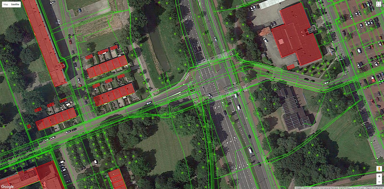
Excavation work takes place almost continually in most cities around the Western hemisphere. Many cities are already full of infrastructures, buried networks, and street furniture, so excavation work is not without any thread to the operator and surrounding environment. Small construction sites, for example, are often constrained by operating infrastructure on surface level and underground. Although different agencies and network owners have information about the location of the objects that put excavation work at risk, this information is not centralized. Different organizations manage location information of buried cables, unexploded ordnance, and pollution, for example. This significantly complicates the early-stage planning and last minute risk assessment processes because professionals need to manually collect, assess, and integrate data about subsurface objects into a comprehensive risk assessment. To smoothen this process, ExcaSafeZone project, therefore, develops a system that collects location data, defines expert-based rules for safety risk assessment, and that synthesizes this into an open source prototype that visualized safety risks on a heat map.
